How geospatial analytics can give your business a competitive edge
- by 7wData
Remember life before GPS? Having to purchase a paper Map and pore over it to figure out how to get from A to B? Not being able to instantly see nearby service stations and coffee shops? It’s hard to imagine how we ever managed to find our way around.
A few years from now, businesses will be asking, “Remember business before geospatial analytics? When we had to pore over Excel charts without real-time location data, and try and glean insight from numbers on a sheet?’’
Because when you add location information to business information, you get an unbeatable competitive edge.
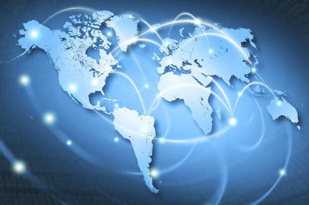
First, let’s take a step back and define terms. Geospatial analysis involves gathering, displaying, and manipulating geographic information system (GIS) data such as imagery, GPS, satellite photographs, historical info, and so on. It uses geographic coordinates (latitudes and longitudes), and also street addresses, postal codes, and other identifiers, to create geographical models.
These models can include maps, graphs, statistics, and cartograms – data visualizations that help making complex relationships more understandable. They can reveal historical changes, and shifts that are currently underway. They can even predict what’s about to happen.
The key is that geospatial analysis adds much more context with the addition of timing and location information. According to Deloitte, “Today, it is possible for organizations to add the context of timing and location to traditional data, creating maps that show changes over time and exactly where those changes are taking place. Maps make it easier for the eye to recognize patterns that were previously buried in spreadsheets, such as distance, proximity, contiguity, and affiliation.”
Bring today’s newest technologies into the mix – the Internet of Things (IoT), location sensors, mobile devices, and social media – and organizations are now able to collect time and place, or “geo-referenced,” data about almost any event or thing.
So why does this matter? The key is that geospatial analysis brings GIS, the system of record for maps, and ERP, the system of record for business data, closer together. In other words, geospatial analysis can combine GIS data from imagery, GPS, satellite photographs, historical info, with data fromsensors, assets, and the Internet of Things with business data from operations, customers, finance, and marketing.
It’s a powerful combination that can uncover insights and opportunities simply not visible before. Imagine opening up a treasure Map for your business that shows you where new business opportunities, cost savings, and partnerships are or could be. In business terminology, this treasure map is the “geo-enablement” of the digital enterprise.
Business applications can be enriched with geographic data from GIS, such as Esri ArcGIS.
[Social9_Share class=”s9-widget-wrapper”]
Upcoming Events
Evolving Your Data Architecture for Trustworthy Generative AI
18 April 2024
5 PM CET – 6 PM CET
Read MoreShift Difficult Problems Left with Graph Analysis on Streaming Data
29 April 2024
12 PM ET – 1 PM ET
Read More