
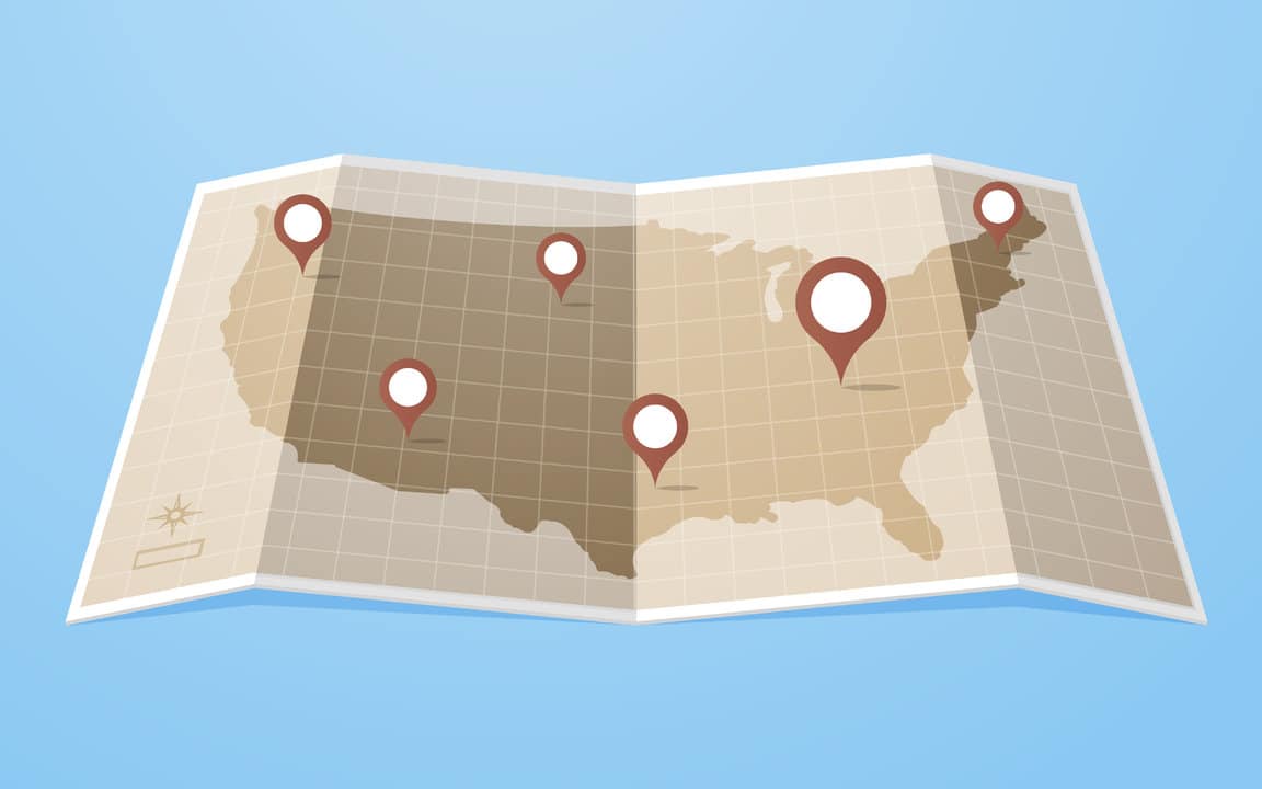
7 Ways Local Governments Are Getting Creative with Data Mapping
- by 7wData
As snow pounded the east coast of the United States this weekend, government entities rushed to do their part in helping citizens cope with the effects of the storm. And amid all those efforts were several jurisdictions that turned to a tool becoming more common in state and local government: maps.
“Unfortunately a lot of the best technology comes out of disasters or major events,” said Christopher Thomas, director of government markets for the geographic information systems (GIS) company Esri.
Among the mapping applications were internal dashboards, which government agencies used to coordinate snow plows and other crews and public-facing informational maps. Thomas said he sees increasing interest in use of GIS at all levels of government. In fact, he said, that's one of the biggest shifts in the field -- in the past, it used to be cities like Chicago and Los Angeles that paid attention to the latest trends in GIS.
Now, increasingly, Thomas sees small-population cities and towns exploring ways to use maps -- places like Rancho Cucamonga, Calif., and Manassas, Va.
“It’s reaching all sizes and all types of government,” Thomas said, adding that there are several reasons for that. One is that the technology has become much faster, making it possible to create interactive mapping applications that give users information in real time or near-real time.
“It’s become a tool to express what’s going on in a city or county or state,” he said.
The other reason is the open data movement. As government data collection expands, and as more of that data becomes publicly available, more people are looking to maps as a means of expressing the information.
And depending on the type of application, a map can be useful for both the government and its constituents. Many maps help government servants operate more efficiently and save money, while others will answer residents' questions so they don't have to call a government worker for the answer.
“It used to be that mapping was an internal view," Thomas said. "Now it’s an internal view, it’s gov-to-gov, it’s gov-to-academic, it’s gov-to-citizen and it’s gov-to-entrepreneur.”
Here are seven examples of state and local governments using maps to help themselves and the people they serve.
As Winter Storm Jonas was busy dropping nearly 30 inches of snow on the nation's capital, officials in D.C. were working to clear it. And thanks to a mapping application they launched, citizens could see exactly how the city was going about that business.
The District of Columbia's snow map lets users enter an address, and then shows what snow plows did near that address within a given range of days. The map also shows where the city received 311 requests for snow removal and gives users a chance to look at recent photos from road cameras showing driving conditions.
In Iowa, snow is big deal year in and year out. Des Moines, for instance, sees an average of more than 35 inches of the stuff in an average season, and the state Department of Transportation spends a lot of time and money clearing it off the roads. So it's no surprise that Iowa's snow plow-tracking map predates Winter Storm Jonas.
It also collects a lot of data about snow and its removal operations. Last year, in an effort to aid motorists battling the weather, the department took that data and put it on a map.
The Iowa DOT's "Track-a-Plow" map lets users see where plows are in near real time, look at photos taken from the dashboards of those vehicles, and see stills from traffic cameras that let them know the condition of the road before they get in the car. It's all set on a map that offers lane closure information, color-coded road condition estimates for different segments of highway and weather radar in the background.;
[Social9_Share class=”s9-widget-wrapper”]
Upcoming Events
Shift Difficult Problems Left with Graph Analysis on Streaming Data
29 April 2024
12 PM ET – 1 PM ET
Read MoreTags
You Might Be Interested In
Data Socialization – Fostering a Data Culture
4 Feb, 2018What does it take to be a Data Ready organization? All around the world organizations are either prepared or preparing …
Comment: Can GDPR and blockchain co-exist?
8 May, 2018The EU’s General Data Protection Regulation (GDPR), due to be enforced on 25 May, implements new rights for people accessing …
Mitigating Business Risk, Improving Outcomes with Visual Thinkers
6 Dec, 2019In education, there’s ever deepening understanding of the importance of different learning styles—visual, auditory, reading, writing, and kinesthetic (hands-on). In …
Recent Jobs

Do You Want to Share Your Story?
Bring your insights on Data, Visualization, Innovation or Business Agility to our community. Let them learn from your experience.
Privacy Overview
Get the 3 STEPS
To Drive Analytics Adoption
And manage change
